


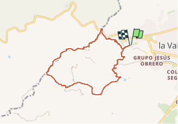

14,6 km | 20 km-effort


Utilisateur


Application GPS de randonnée GRATUITE
 SityTrail
IGN / Instituts géographiques
SityTrail World
Le monde est à vous
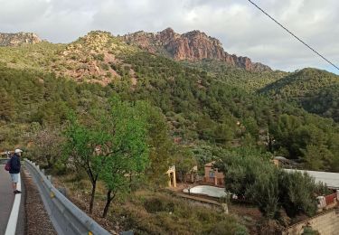
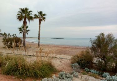
Randonnée Marche de 9,9 km à découvrir à Communauté Valencienne, Castellón, la Vall d'Uixó. Cette randonnée est proposée par jacquesduchesne.
A pied
A pied
Marche
Marche

A pied

Marche
Vélo de route
Marche
Marche